
History of Grasbrook
© HHLA / Werbeck
The new Grasbrook district is being built on an area that has changed considerably over the centuries. Until the Middle Ages, Grasbrook (Brook: wet marshland) served as pasture land in front of the city. It was not until around 1850 that Grasbrook was first used as a port on the south side of the Norderelbe. The Elbbrücken created connections between Hamburg and Harburg.
From the 19th century onwards, the area's appearance was shaped by the constant expansion for the handling of seagoing vessels. In the 1960s, water areas were gradually filled in, initially parts of the Moldauhafen for the construction of the Überseezentrum (overseas center), and from the 1970s large areas of the Segelschiffhafen for further logistics and storage uses. In 2016, Hamburger Hafen und Logistik AG (HHLA) abandoned the Überseezentrum due to a lack of economic viability. In September 2017, the idea of the new Grasbrook district was presented to the public for the first time. Planning for its realization has been progressing steadily since then. The antichronological overview shows the latest developments.
2023
As the first construction project in Grasbrook, the Moldauhafenbrücke was given concrete form through a design competition, which was won by Schüßler-Plan Ingenieurgesellschaft mbH (Berlin) with DKFS Architects (London). The bridge connects the Moldauhafenquartier with the Hafentorquartier and ensures flood-protected access to the entire district.
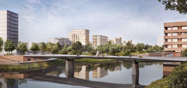
© Schüßler-Plan / DKFS Architects
2022
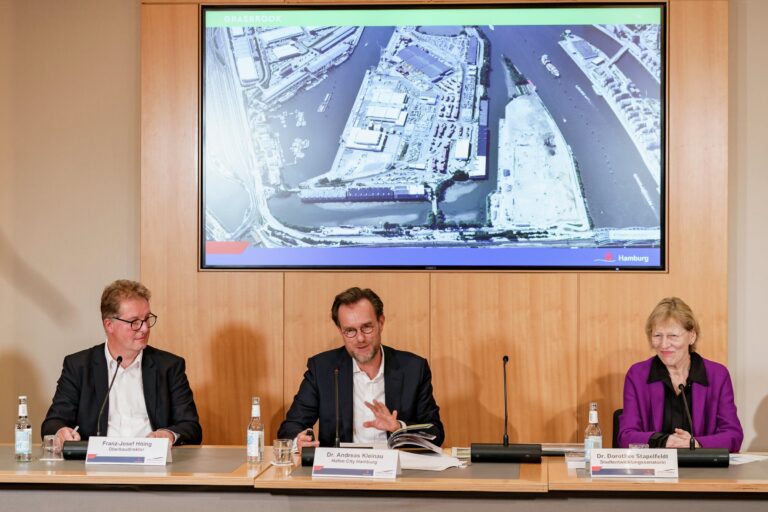
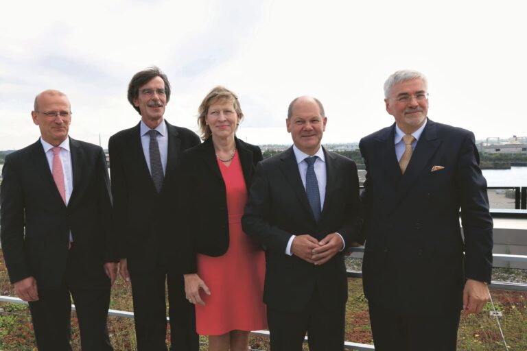
In December, Hamburg's Senate confirmed the functional and open space planning for the new Grasbrook district, thus setting the course for the next stages of realization.
© Miguel Ferraz
2020
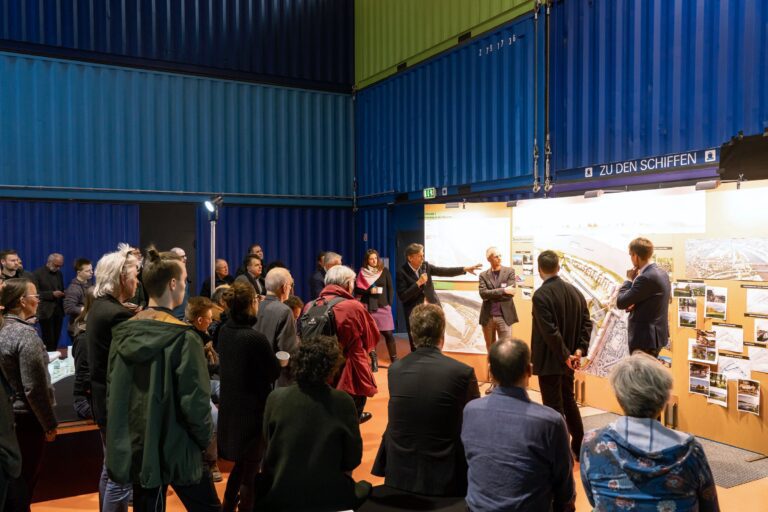
From September 2019 to April 2020, a competitive dialogue took place to design the urban development and open spaces of the new Grasbrook district. Neighbors and interested citizens were actively involved in the planning process as part of Grasbrook workshops and forums. In the final jury meeting, the team of Herzog & de Meuron and Vogt Landschaftsarchitekten came out on top.
© Thomas Hampel
2017
The Grasbrook district was presented as an idea at a state press conference on September 12, 2017 by the then First Mayor Olaf Scholz.
© HafenCity Hamburg GmbH
2016
In the mid-2010s, HHLA gave up the Überseezentrum (overseas center) due to a lack of profitability. However, no significant changes have been made to the site since 1990. Current port uses are on the O'Swaldkai and on land in the Czech Republic.
1975
Appropriate conditions had to be created on Grasbrook for the use of the port. Between 1975 and 1978, the Segelschiffhafen was extensively filled in. The narrow headlands with direct quay handling made way for large, contiguous storage and logistics areas.
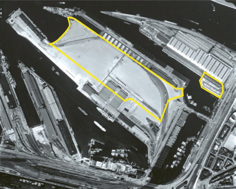
© Hamburg Port Authority (HPA)
1964
From 1962 onwards, large areas of the Moldauhafen were filled in for the construction of the Überseezentrum (overseas center). In 1967, the Überseezentrum was opened as the world's largest collection and distribution shed at the time.
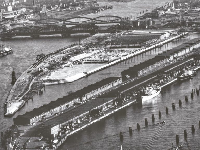
© O+P Geotechnik GmbH
1945
After the destruction in the Second World War, the port facilities were quickly rebuilt.
1932
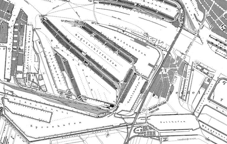
The brick buildings in Veddel are built according to plans by Fritz Schumacher. The area of today's Grasbrook is characterized by Moldau-, Segelschiff- and Saalehafen.
© HHLA / Werbeck
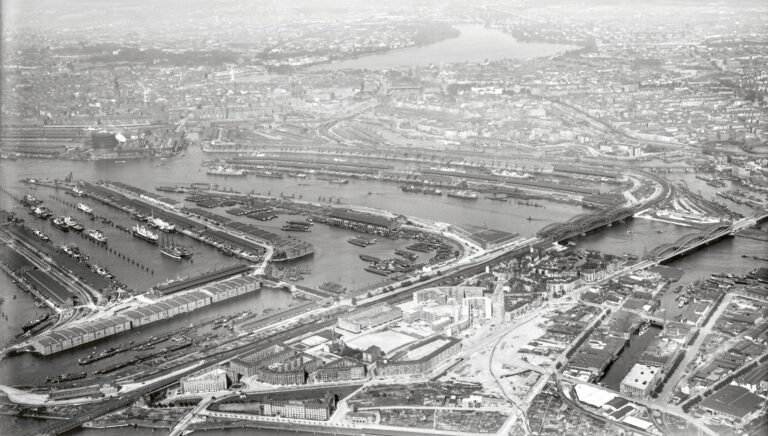
1899
The development of Grasbrook for port and industry began in the mid- to late 19th century. Narrow quays and cargo sheds were built for cargo handling. The first workers' housing estates were built in Veddel.
© Hamburg Port Authority (HPA)
1868
The first bridge link between Hamburg and Harburg (Eisenbahnbrücke) was built between 1868 and 1872, and the first road bridge (Neue Elbbrücke) between 1884 and 1888
1833
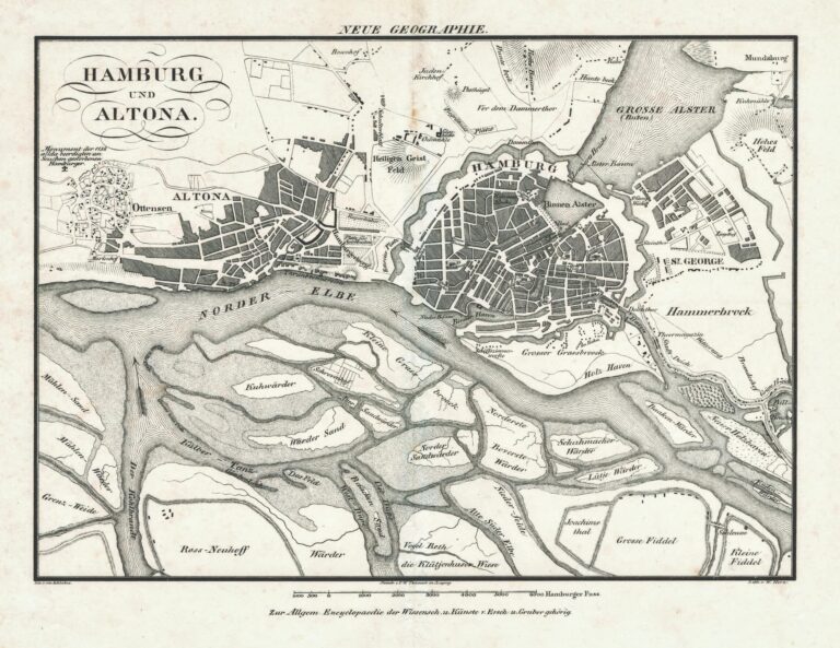
The depiction from the first third of the 19th century shows Hamburg and the then municipality of Altona. On the south side of the Norderelbe, no port use is yet apparent.
© Christian Terstegge
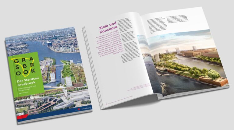
The district at a glance
In the middle of Hamburg, on the south bank of the Elbe, Grasbrook offers a unique opportunity to build a piece of the future
Grasbrook and Veddel
New bridges and pathways will allow Veddel and Grasbrook to grow together into a single urban space
Facts and figures
3,000 apartments and 16,000 jobs are being created in Grasbrook, on the south bank of the Elbe and at historic harbor basins
Further information
Report functional planning and Grasbrook Overview